
Wisconsin
Coastal Communities Overview
Coastal Communities Overview
Coastal Communities Overview
The feature that you have selected is currently filtered out of the map. Would you like to reset the filter to view this feature on the map?
yes
no
Search for a specific County, City, Village, Town, or Other (Township, Charter Township, Burough, Indian Reservation).
Choose any basemap from the selections below.
Carto DB Positron
Esri Ocean Basemap
OpenStreetMap Mapnik
Hydda Full
Esri World Street Map
Esri World Physical
Esri World Imagery
Choose feature URL's to filter by.
Click to view in map
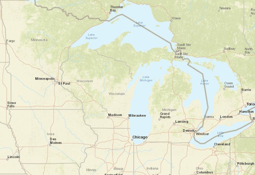
You are currently viewing the full Wisconsin Community map, click the two links below to view either the regional Wisconsin map or the full Great Lakes Overview map.
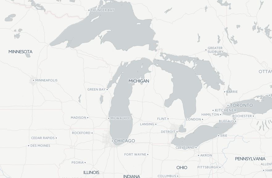
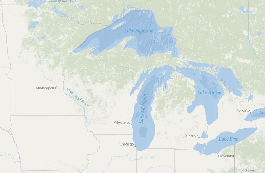
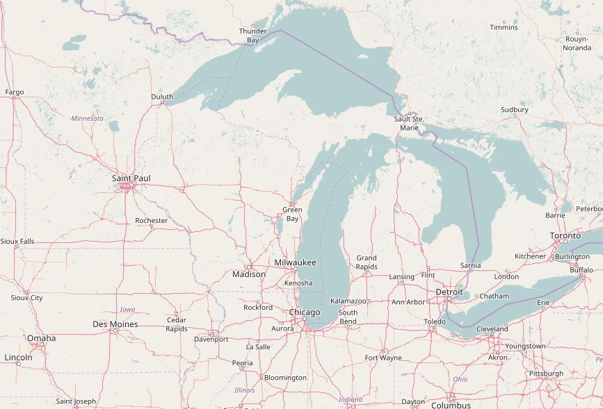
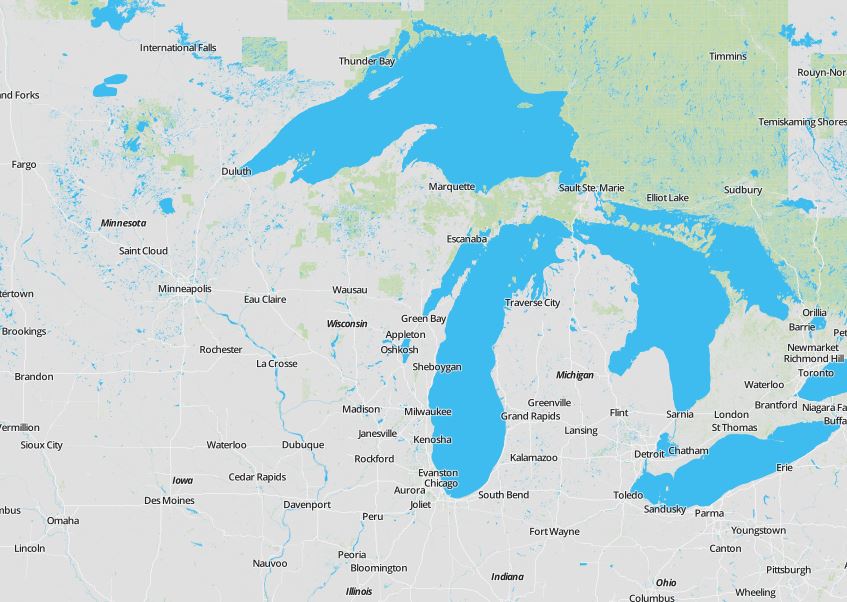
Wisconsin Focus Regional MapThe Wisconsin Coastal Communities Overview map brings you information on Counties, Cities, Villages, Towns, and Other (Townships, Charter Townships, Buroughs, Indian Reservations) communities that lie on the coast of Wisconsin.
Hover over a feature to learn more, and click a feature to zoom to it and bring up a menu to navigate through the different community resources of that feature.
To the right, you can search for a specific feature, change the basemap, and filter different features based on available resource attributes.
The legend, near the bottom-left of the map, allows you to toggle on or off Counties, Cities, Villages, Towns, and Other (Townships, Charter Townships, Buroughs, Indian Reservations).
The attribute data and URL's can be accessed separately through a publicly viewable google spreadsheet, which can be accessed here.
Municipality data was retrieved via Tiger Shapefiles from the U.S. Census Bureau.
Leaflet plugins used include hash and fusesearch.
• Information
Counties
Cities
Villages
Towns
Other